
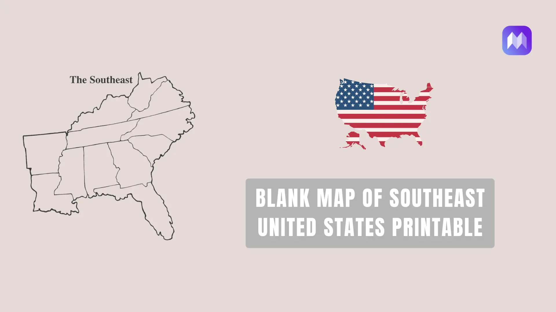
A blank map of the Southeast United States is one of the easiest geography tools for learning state locations, borders, capitals, and regional patterns. It gives students a clean outline of the region without printed labels, so they can write state names, mark capitals, color each state, and test what they remember.
For teachers, parents, homeschool users, and students, a blank Southeast map is useful because it keeps the lesson simple. No extra labels. No crowded details. Just the region, state boundaries, and enough space to practice.
People usually search for a Southeast States Blank Map Printable when they need a worksheet, quiz, study guide, or classroom activity. Others need a southern states blank map printable for travel planning, research, presentations, or design work.
Blank Map of Southeast United States Outline Map

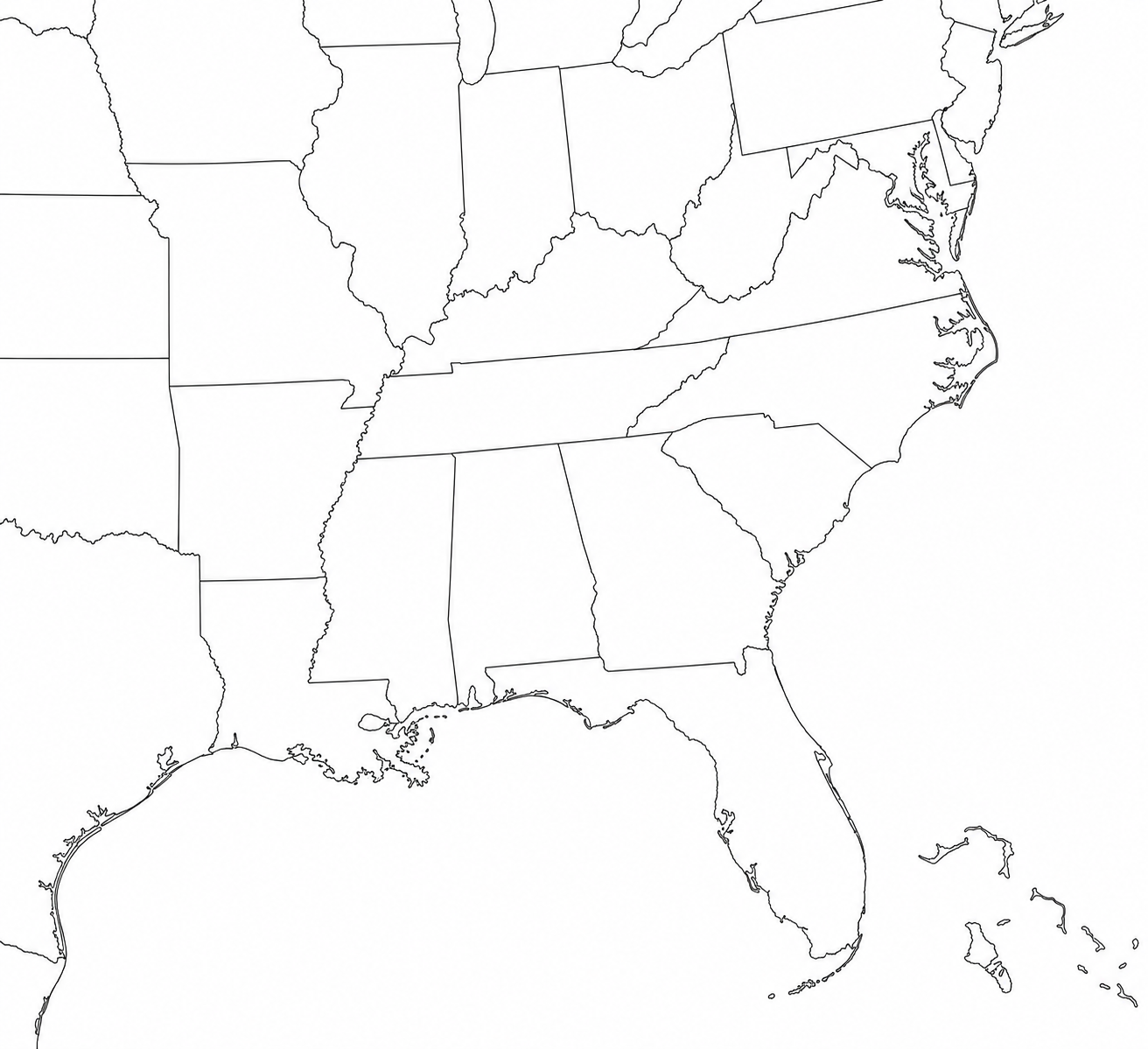
Free Printable Southeast Region Map

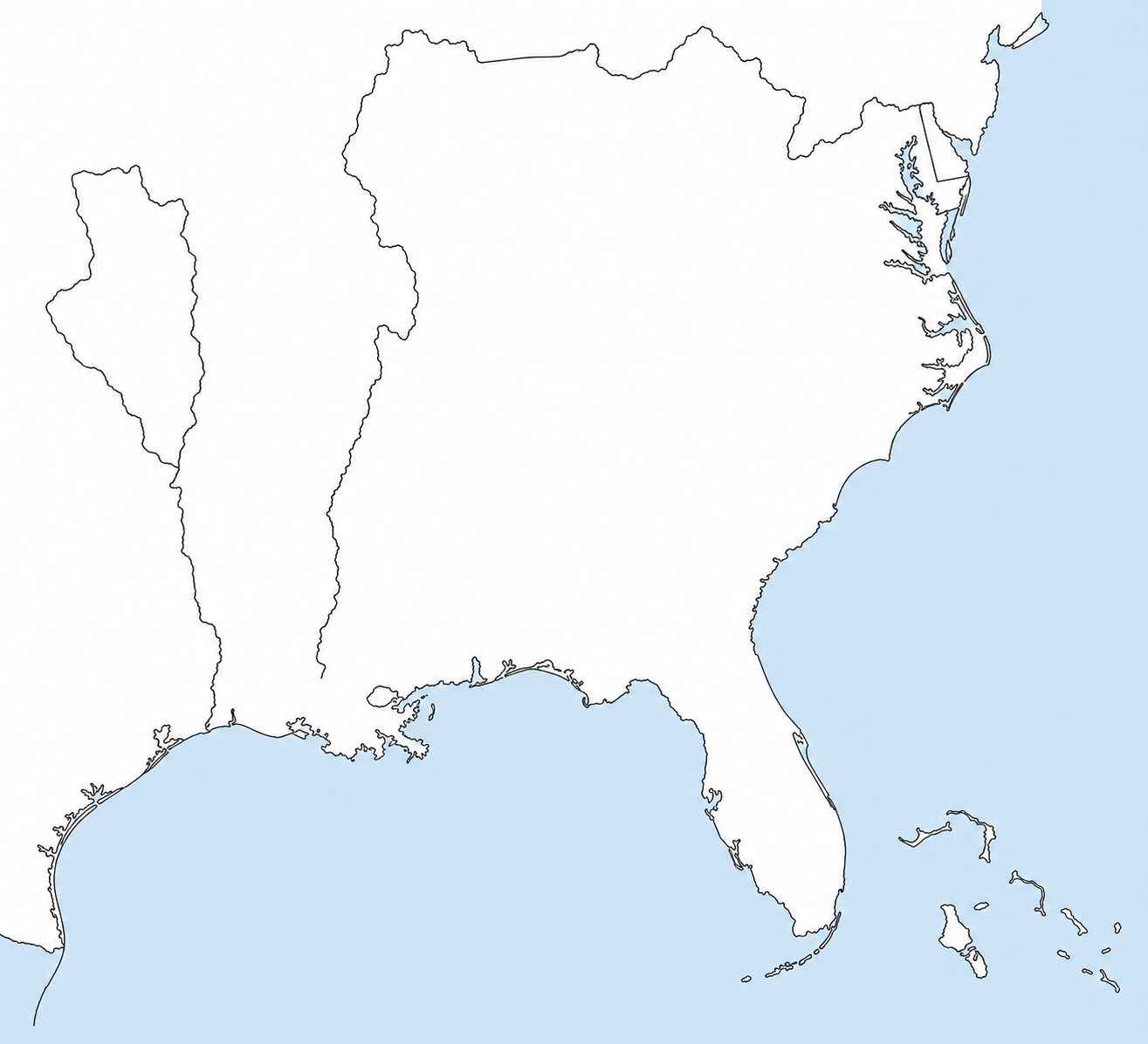
Blank Map Of Southeast United States PDF

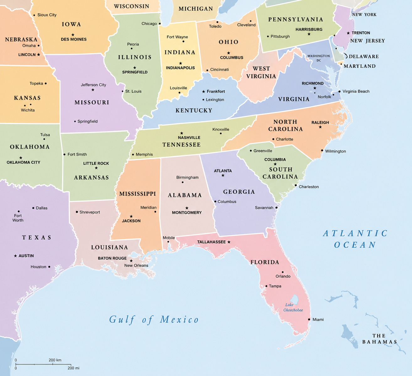
Southeast Map With Capitals

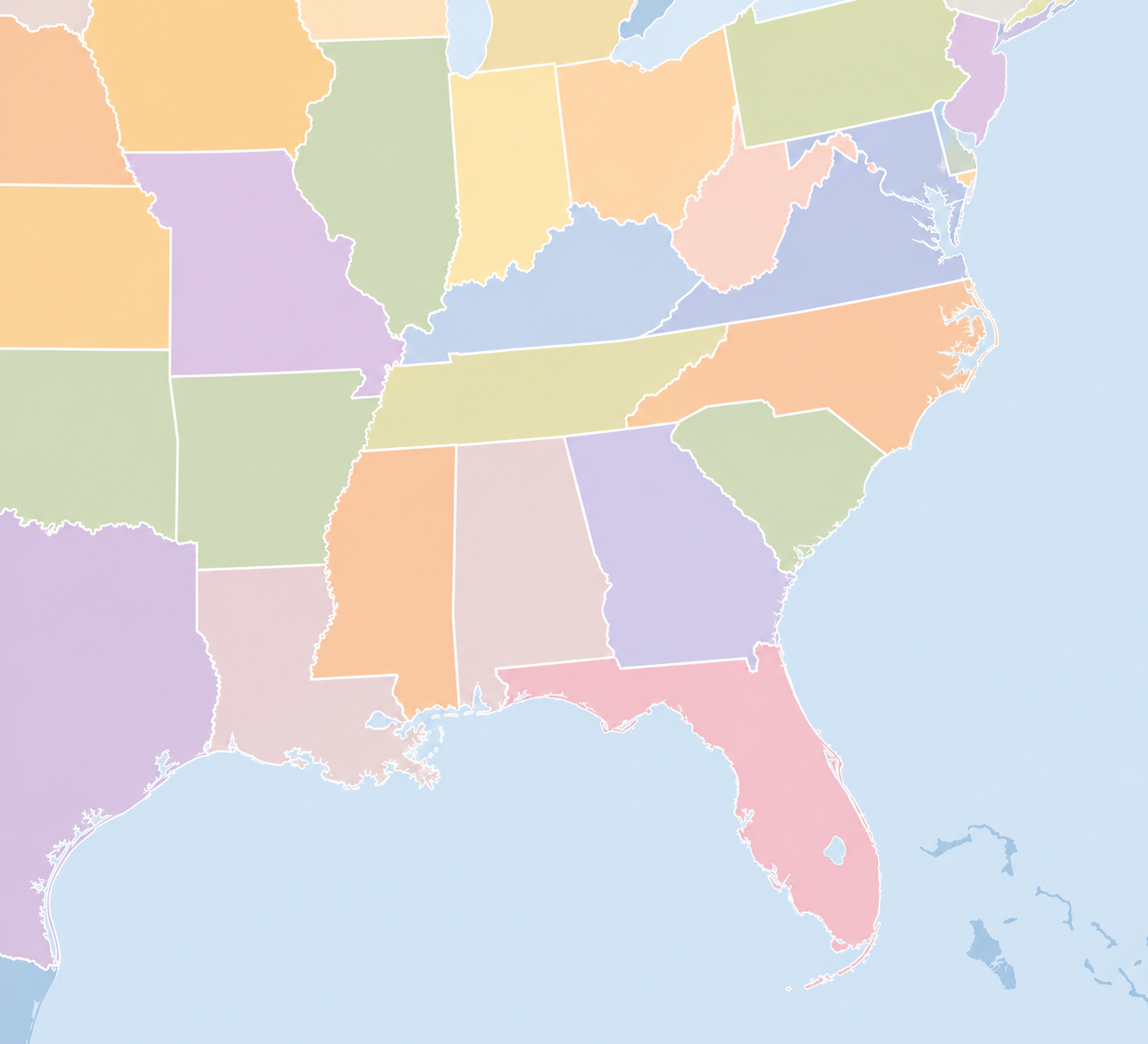
Printable Map Southeast United States

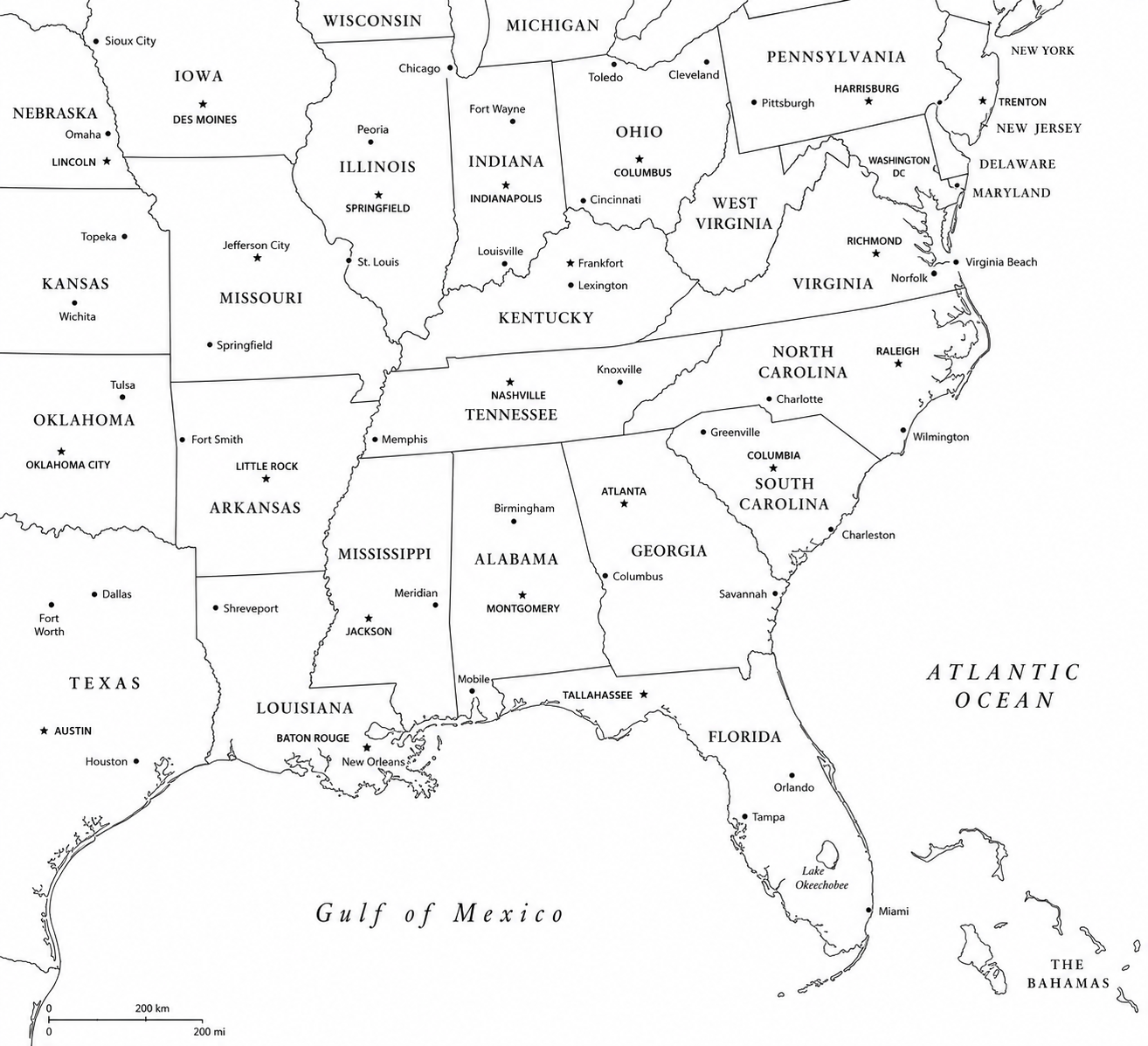
Southeast Region Blank Map PDF

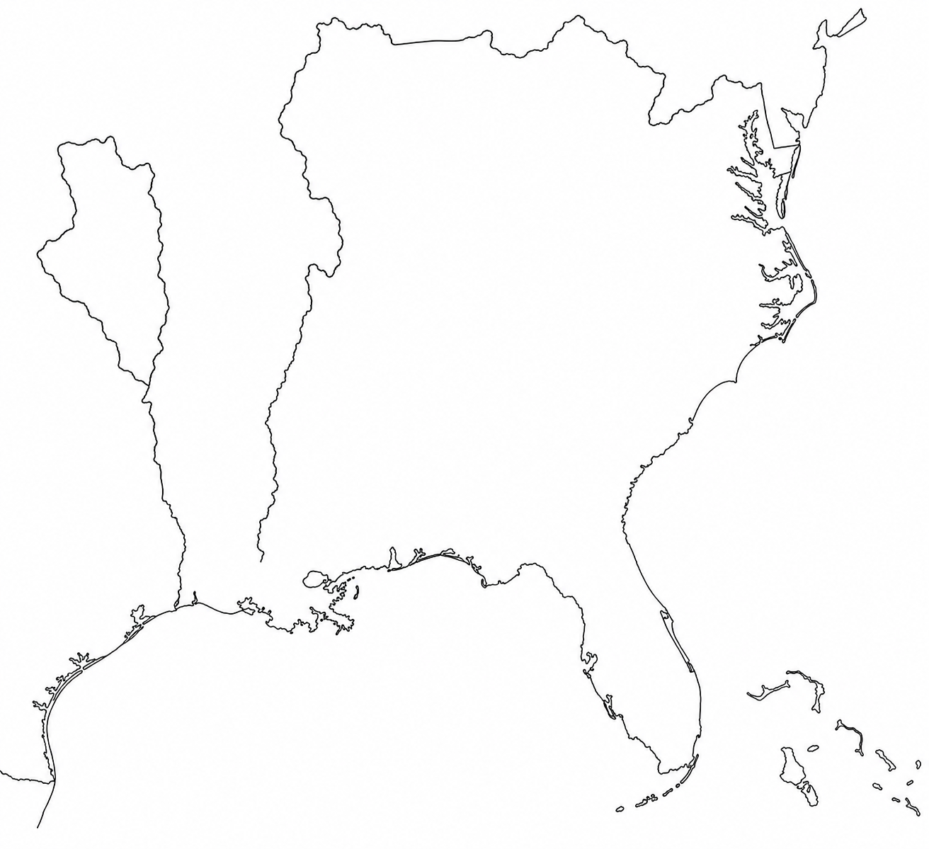
Also Read:- Blank Map of South America, Free Download
What is a blank map of the Southeast United States?
A blank map of the Southeast United States is an outline map showing the southeastern region of the U.S. with state borders but without labels. Some versions include only the state shapes. Others may include a map key box, compass rose, or blank spaces for writing state names and capitals.
A free printable Southeast region map is often used in elementary social studies, U.S. geography lessons, and regional state practice. Students can label the states, identify neighboring states, write capital cities, shade different areas, or create their own map key.
The exact list of Southeast states can change depending on the school curriculum or map provider. A common 14-state classroom version includes:
Alabama, Arkansas, Delaware, Florida, Georgia, Kentucky, Louisiana, Maryland, Mississippi, North Carolina, South Carolina, Tennessee, Virginia, and West Virginia.
Some maps use a smaller “South” or “Southeast” list and may leave out Delaware or Maryland. Some may include Oklahoma or Texas in a broader Southern region. Before printing a worksheet for class, check the state list against your textbook, teacher guide, or school standard.
Why use a blank Southeast map?
A labeled map tells the answer. A blank map asks the student to remember it.
That is why a printable map of southeast region works well for practice. It lets students actively fill in the information instead of only reading it. This type of map can be used for:
- Labeling Southeast state names
- Writing state capitals
- Matching state abbreviations
- Coloring each state
- Practicing map keys and legends
- Reviewing borders and neighboring states
- Preparing for a geography quiz
- Building student notebooks or homework packets
A printable map of the Southeast United States can also work outside the classroom. Writers, bloggers, designers, and researchers may use a clean outline map for regional content, travel topics, service-area pages, and educational graphics.
Best uses for a Southeast states blank map printable
A Southeast states blank map printable is most useful when the map has clear borders, enough white space, and a simple layout. Students need room to write. Teachers need a page that prints clearly.
Here are practical ways to use it.
1. State labeling practice
Print a blank Southeast states map and ask students to label each state without looking at a reference map. After they finish, let them compare it with a labeled political map.
This works well for daily review. It also gives teachers a quick way to see which states students confuse.
Common confusion points include Mississippi and Alabama, North Carolina and South Carolina, and the smaller Mid-Atlantic states if Delaware and Maryland are included in the Southeast list.
2. Capitals practice
A Southeast Map With Capitals is useful after students know the state names. Start with the blank United States map, then ask students to write each capital next to the correct state.
For example:
Alabama: Montgomery
Florida: Tallahassee
Georgia: Atlanta
Kentucky: Frankfort
Louisiana: Baton Rouge
Mississippi: Jackson
North Carolina: Raleigh
South Carolina: Columbia
Tennessee: Nashville
Virginia: Richmond
West Virginia: Charleston
If your worksheet includes Arkansas, Delaware, and Maryland, add Little Rock, Dover, and Annapolis.
3. State abbreviations
A blank map can also test abbreviations. Students can write AL, FL, GA, MS, NC, SC, TN, VA, and WV directly on the map.
This is a good activity before state-capital matching worksheets because it teaches students to connect the state name, postal abbreviation, and location.
4. Map coloring activity
A free printable Southeast US map can become a simple coloring worksheet. Ask students to color coastal states one color, inland states another color, or use a different color for each state.
You can also ask them to create a map key. This teaches more than memorization. It teaches how maps organize information.
5. Numbered quiz map
For test prep, use a blank map with numbered states. Students write the state name or capital next to each number. This format is quick to grade and works well for warm-ups, quizzes, and review sheets.
A printable map of the Southeast states with numbers can also be reused. Print one clean version and give students a separate answer sheet.
Also Read:- Blank Map of Georgia, USA Free Download
Blank map, political map, capitals map, or city map?
The best map depends on the task.
A blank map is best for practice. Use it when students need to label states, capitals, abbreviations, rivers, or regions by themselves.
A political map is best for reference. It usually shows state names, borders, capitals, and sometimes major cities.
A Southeast Map With Capitals is best for memorizing capital cities and checking answers after a blank-map activity.
A Southeast map with cities is better for travel, business, logistics, population lessons, and regional planning. It may show major places such as Atlanta, Miami, Nashville, Charlotte, New Orleans, Raleigh, Tampa, Birmingham, and Richmond, depending on the map source.
A physical map is better for landforms. Use it when students need to study mountains, rivers, coastlines, plains, and elevation.
PDF, JPG, PNG, or SVG: which format should you choose?
When searching for a blank map of southeast united states pdf, format matters. Different formats work better for different needs.
A Blank map of southeast united states pdf is best for printing. PDF files usually keep the page layout stable, which means the map prints in the right position and size.
A Blank map of southeast united states pdf free version, is ideal for teachers who need a quick handout.
Use PDF for:
- Classroom worksheets
- Homework packets
- Quizzes
- Student notebooks
- Printable study guides
JPG or PNG
Image files are easy to save, insert into documents, or upload into slides. A JPG map can work well for a quick worksheet, but the print quality depends on the image resolution.
If you download a Southeast states map blank free image, check the size before printing. A small image may look blurry on paper.
Use JPG or PNG for:
- Blog graphics
- Simple worksheets
- Presentations
- Digital handouts
- Quick downloads
SVG
An SVG map is best for web and design use. It can be resized without losing quality. Designers can edit colors, add labels, select states, and create custom regional maps.
Use SVG for:
- Website graphics
- Interactive maps
- Custom state highlighting
- Clean vector design
- Large-format prints
For most classroom users, PDF is the safest choice. For web designers, SVG gives more control.
How to print a clean Southeast region blank map PDF
A Southeast region blank map PDF should print clearly on standard letter-size paper. Use these steps before giving it to students:
- Open the file and check the state borders.
- Choose portrait or landscape based on the map layout.
- Select “fit to page” if the map is too large.
- Print one test copy before printing a full class set.
- Make sure state borders are sharp enough for students to write inside.
- Leave enough margin for student names, date, and class period.
- Use black-and-white printing for blank maps and color printing for reference maps.
If the map is for a quiz, print it without labels. If it is for study, include a labeled answer key.
Also Read:- Blank Northeast United States Map Free Download
Classroom activities using a free printable Southeast region map
A free printable Southeast region map can support short practice or a full lesson. Here are a few simple activity ideas.
State race
Give students a blank map and 3 minutes to label as many Southeast states as they can. After the timer ends, they check answers with a labeled map.
Capital match
Write the state names on the map. Give students a separate list of capitals. They match each capital to the correct state.
Border challenge
Ask students to name which states border Tennessee, Georgia, or North Carolina. This builds regional awareness.
Coastal and inland states
Students color coastal states one color and inland states another color. They can write a short note about how geography affects weather, travel, or the economy.
Map key practice
Students create a map key using colors or patterns. For example, they can mark coastal states, Appalachian states, Gulf Coast states, and Atlantic Coast states.
Neighbor quiz
Students choose 5 states and write the names of their neighboring states. This works well after they already know basic locations.
Southeast states and capitals reference list
Use this list with a blank map activity, answer key, or study guide.
| State | Capital |
|---|---|
| Alabama | Montgomery |
| Arkansas | Little Rock |
| Delaware | Dover |
| Florida | Tallahassee |
| Georgia | Atlanta |
| Kentucky | Frankfort |
| Louisiana | Baton Rouge |
| Maryland | Annapolis |
| Mississippi | Jackson |
| North Carolina | Raleigh |
| South Carolina | Columbia |
| Tennessee | Nashville |
| Virginia | Richmond |
| West Virginia | Charleston |
Check your curriculum before using all 14 states. Some programs place Delaware and Maryland in the Northeast. Some use a smaller Southeast list focused on the Deep South and Atlantic Southeast.
What to look for before downloading a blank Southeast map
A good printable map of the Southeast states should be easy to read and easy to print. Before downloading, check these details:
- Clear state boundaries
- Enough white space for labels
- Standard page size
- PDF option if you need printing
- High-resolution image if using JPG or PNG
- Usage rights for classroom, personal, or commercial use
- A matching answer key if students will be graded
- A labeled version for review
- A capital version of the lesson includes capital cities
- A city map if the task involves major cities
For blog or commercial use, read the license carefully. Some worksheet collections allow educational use only. Some map sites allow personal use. Some stock or SVG resources may allow commercial use with a license or attribution.
Free printable Southeast U.S. map ideas for different users
For teachers
Use a free printable Southeast US map as a quiz, bell-ringer, homework page, or notebook insert. Keep one labeled map on the board and give students a blank version for practice.
For homeschool parents
Start with state names, then move to capitals, abbreviations, and neighboring states. Repeat the same blank map across several days so the child builds memory through practice.
For students
Print one blank map and one labeled map. Try filling in the blank version first. Then check your answers. Repeat until you can place every state without looking.
For designers
Use a clean SVG or high-resolution image if you need a custom Southeast graphic. A Southeast map with cities may work better for business content, service-area pages, and travel guides.
For bloggers
Use a blank or simple political map to support articles about the Southern U.S., regional travel, state guides, weather, culture, education, or geography worksheets.
Also Read:- Midwest Region Blank Map Free Download
Frequently Asked Questions – Blank Map of Southeast United States
Where can I find a Blank map of southeast united states free?
You can find free blank Southeast maps through educational worksheet sites, map resource pages, and printable geography pages. Look for a PDF if you need a classroom handout and check usage rights before publishing it online.
What is the best format for a Southeast States Blank Map Printable?
PDF is usually best for printing. JPG and PNG work for quick downloads and digital worksheets. SVG is best for design, websites, and custom graphics.
Can I use a southern states blank map printable for the Southeast region?
Yes, if the state list matches your lesson. Some maps of southern states include a wider region. Compare the included states before using them for a quiz or answer key.
What should a Southeast Map With Capitals include?
It should show each Southeast state with its capital city. For a 14-state classroom version, include Alabama, Arkansas, Delaware, Florida, Georgia, Kentucky, Louisiana, Maryland, Mississippi, North Carolina, South Carolina, Tennessee, Virginia, and West Virginia with their capitals.
Is a Southeast states map blank free enough for school use?
A free blank map can be effective for school use if it prints clearly, accurately represents the correct boundaries, and aligns with the curriculum. For tests, use a clean version with no labels and prepare an answer key.
Final Conclusion
A blank map of the Southeast United States is a simple worksheet, but it can support many lessons. Students can label states, write capitals, practice abbreviations, color regions, study borders, and prepare for map quizzes.
For printing, choose a clean PDF. For fast classroom use, choose a free printable Southeast region map with clear state boundaries. For design or web use, choose a high-resolution image or SVG file.
The best map is the one that matches the task: blank for practice, labeled for study, capitals for memorization, cities for regional reference, and physical maps for landforms.