Blank US Map Printable – Free US States Outline Maps, blank US Map states & PDF Downloads
4.8/5 - (19 votes)
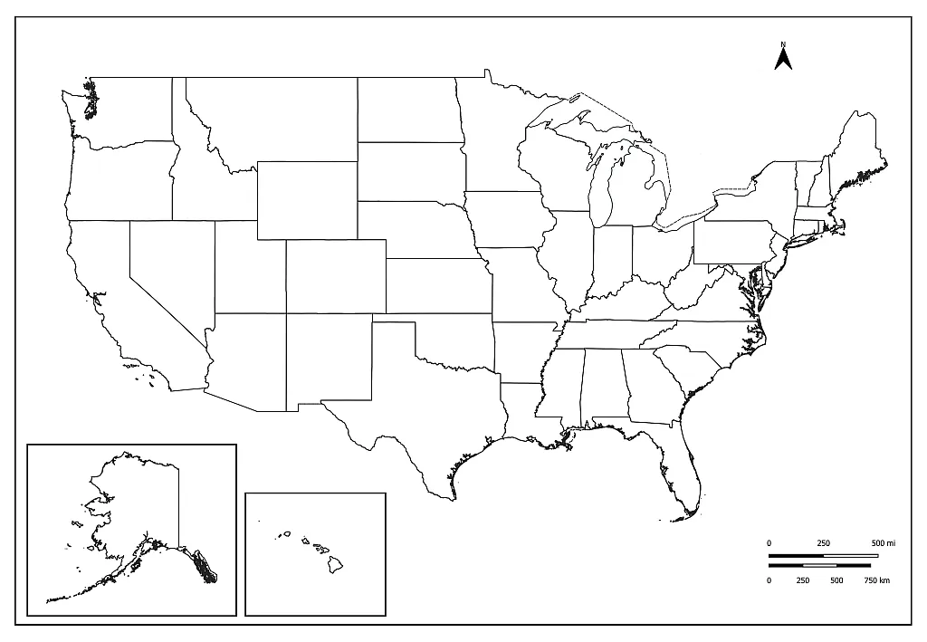
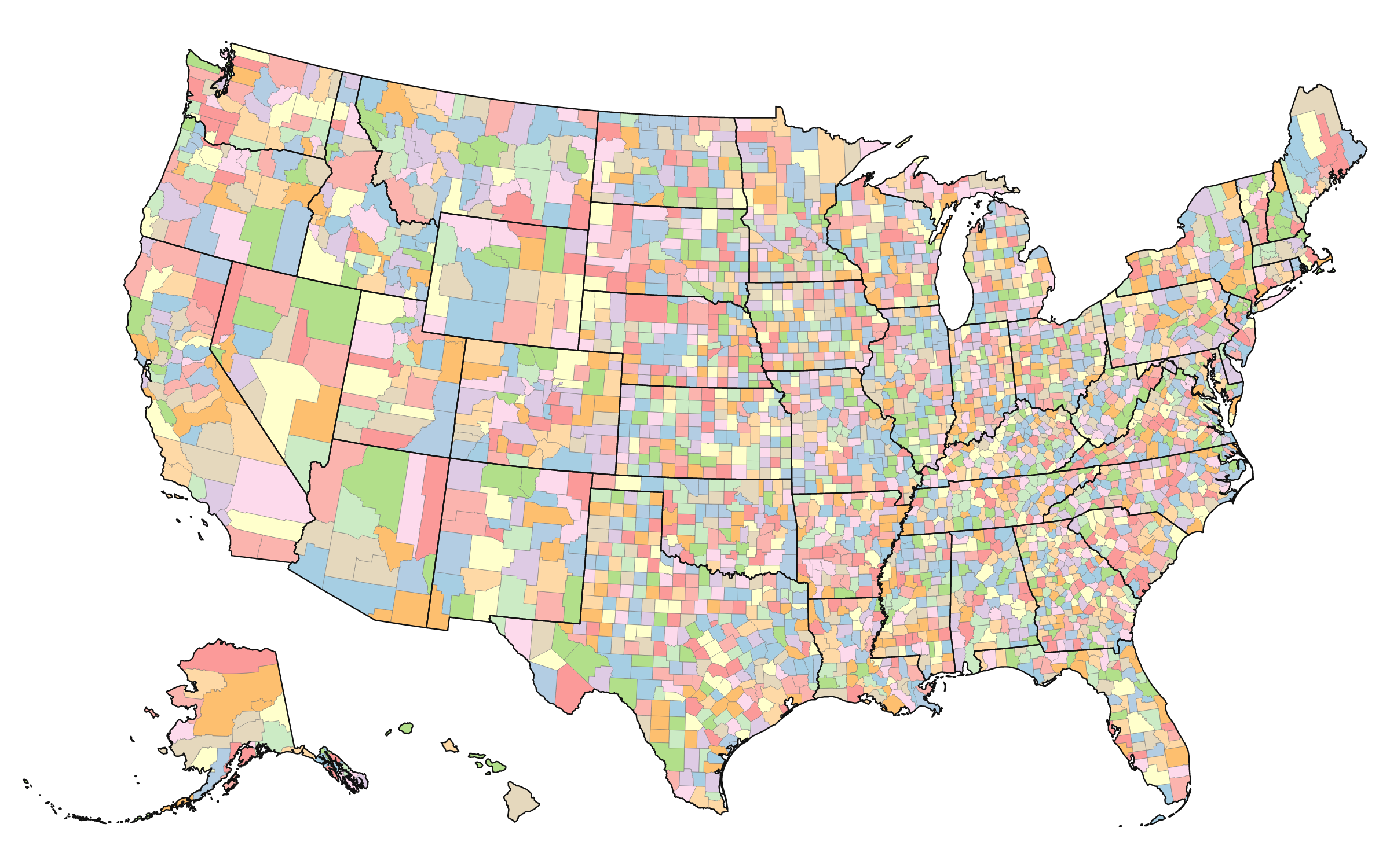
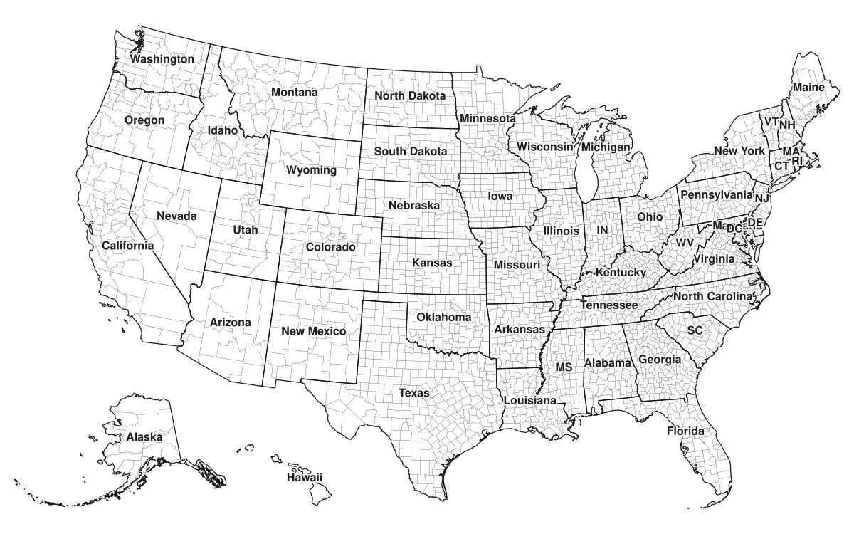
Download a free Blank US Map Printable, blank US map states in high-quality PDF, PNG, and SVG formats. Explore a complete collection of blank US maps, outline maps, labeled maps, and US states maps, including the Map of the United States with Outlying Territories. These printable maps are perfect for students, teachers, homeschoolers, geography lessons, classroom activities, presentations, research projects, and map-coloring exercises.
About Us
Welcome to our website, your trusted source for high-quality blank maps of the United States. We offer a wide collection of printable and downloadable U.S. maps covering various categories, including states, cities, territories, regions, counties, and more.
Whether you’re a student, teacher, traveler, researcher, or simply looking for a map for personal use, you’ll find a variety of easy-to-use map templates to meet your needs. All maps are available in high resolution and can be downloaded or printed completely free of charge.
Our goal is to make accurate and accessible U.S. maps available to everyone, helping users save time and find the right map quickly and easily.
Printable & Blank Map of USA – Outline, Worksheets in PDF
The Free Blank US Map collection below is designed to help students, teachers, homeschoolers, and geography enthusiasts learn about the United States in a simple, interactive way. You can download printable US maps for students, teachers, and homeschoolers in high-quality PDF, PNG,
and SVG formats, making them suitable for classroom activities, homework assignments, study materials, presentations, and educational projects. Our collection includes blank US map printable templates, free US state outline maps, labeled maps, and state-border maps that can be printed on almost any home or school printer.
Teachers often use these maps as worksheets, allowing students to identify and label states, capitals, and regions on their own. This hands-on approach encourages active learning and helps students develop a stronger understanding of U.S. geography.
These high-quality blank US maps are especially useful for geography lessons, map quizzes, state-capital practice, homeschooling activities, and classroom assessments. By researching and filling in state names, capital cities, and locations, students can improve their map-reading skills while making learning more engaging and memorable. Whether you need a simple outline map for coloring or a detailed worksheet for educational use, these printable resources provide practical, effective learning tools for all ages.
This free high-resolution blank map of the United States displays all 50 states with clear and accurate boundaries. The map is created using reliable public-domain geographic data and is available as a clean, printable resource with no watermarks, registration requirements, or usage restrictions.
Whether you’re a teacher preparing classroom activities, a student studying U.S. geography, a business owner planning sales territories, a content creator producing educational videos, or a traveler tracking visited states, this blank U.S. map provides a simple and practical solution.
To meet different needs, we offer multiple map variations, including blank outline maps, labeled maps, state maps, and printable worksheets. Since all versions are generated from the same geographic source data, state boundaries remain perfectly aligned across every format. This makes it easy to use a blank map for exercises and a labeled map as a reference or answer key.
Our goal is to provide accurate, easy-to-use, and freely accessible United States maps for educational, personal, and professional purposes.
United States Facts Sheet
Category
Information
Country
United States of America (USA)
Continent
North America
Capital City
Washington, D.C.
Largest City
New York City
Population
Approximately 340 Million (2025 Estimate)
Total Area
9.83 Million km² (3.8 Million mi²)
Population Density
Approximately 36 People per km²
Number of States
50
Official Federal Language
No Official Federal Language
Most Widely Spoken Language
English
Currency
United States Dollar (USD)
Calling Code
+1
Driving Side
Right
ISO Country Code
US
Time Zones
6 Primary Time Zones
National Motto
In God We Trust
Government Type
Federal Presidential Constitutional Republic
What Is a Blank US Map?
A blank US map is an outline map that displays the geographical boundaries of the United States without state names, capitals, cities, or other labels. Depending on the version, it may include all 50 states, state borders, and sometimes surrounding countries and bodies of water.
These maps are designed to be filled in manually or digitally. Students often use them to label states and capitals, while businesses may use them to mark service areas, distribution regions, or customer locations. Researchers, travelers, and content creators also use blank maps for presentations, reports, and visual projects.
The simplicity of a blank map makes it highly versatile. Instead of being limited to one purpose, it can be customized for educational, professional, or personal use.
Types of Blank US Maps
Not all blank maps are the same. Different versions are created for different purposes and audiences.
Blank US Map with State Borders
This is the most common version. It displays all state boundaries without state names. Teachers frequently use this format for quizzes and geography assignments.
Students can write state names, capitals, or regional information directly onto the map. It is especially useful for learning the locations of all 50 states.
Blank US Outline Map
An outline map only shows the outer boundary of the United States without internal state lines. This format is commonly used for art projects, presentations, and custom illustrations.
Many designers and content creators prefer outline maps because they provide a clean foundation for adding custom information.
Blank US Map with Capitals Worksheet
Some educational maps leave blank spaces where students can add state capitals. These worksheets help reinforce geography knowledge and improve memory retention.
They are commonly used in elementary, middle school, and high school classrooms.
Regional Blank US Maps
Regional maps divide the United States into areas such as the Northeast, Midwest, South, and West. These maps help students understand how states are grouped geographically and culturally.
They are often used in social studies and history lessons.
Blank US Map Without State Names
This is the most popular version. It shows state boundaries but does not include state labels. Students can use it to practice identifying states and completing geography worksheets.
US Outline Map
An outline map displays only the outer border of the United States without internal state boundaries. This format is commonly used for presentations, graphic design projects, and coloring activities.
Blank US Map With Cities
Some printable maps include major cities while keeping other geographic details minimal. These maps are often used for travel planning and educational exercises.
Blank US States Map Printable
These maps focus on individual states and can be used to study state geography, counties, rivers, landmarks, and state capitals.
Benefits of Using a Blank US Map
One reason blank maps remain popular is their flexibility. They can be adapted to almost any learning or planning activity.
For students, blank maps improve geographical awareness and help develop map-reading skills. Instead of simply memorizing state names, learners actively engage with the map by locating and labeling states.
Teachers appreciate blank maps because they can be used for quizzes, assignments, classroom games, and assessment activities. They are simple to print and easy to customize.
Businesses also benefit from blank maps when planning sales territories, analyzing regional performance, or visualizing customer distribution. A blank map can transform complex data into a format that is easier to understand.
Common Uses of Printable Blank US Maps
Printable maps are surprisingly versatile and can be used in many different situations.
Geography Education
Teachers use blank maps for classroom assignments, tests, quizzes, and interactive learning activities. Students can label states, capitals, mountain ranges, rivers, and regions.
Homeschool Learning
Homeschool parents often incorporate blank maps into geography lessons because they provide a hands-on learning experience that improves retention and engagement.
Research and Presentations
Researchers and presenters use outline maps to highlight specific states, regions, demographic trends, or business locations without visual clutter.
Map Coloring Activities
Coloring maps is especially popular among younger students. Coloring different states helps reinforce geographic boundaries while making learning enjoyable.
Students
Students use blank maps to learn state names, capitals, regions, and geographical features. Geography teachers frequently include map exercises in their curriculum because they encourage active learning.
YouTube and content creation
Blank US maps are widely used for YouTube videos, educational content, and geography quizzes. Content creators can customize and animate SVG maps in video editing software, while teachers and quiz creators use printable maps to test knowledge of U.S. states, capitals, regions, and major cities. Their simple design makes learning and presentation much more effective.
Teachers
Teachers rely on printable blank maps for classroom activities, homework assignments, and testing. Many educators use them as reusable learning resources throughout the school year.
Travelers
Travel enthusiasts often print blank maps to track states they have visited. Marking travel destinations on a map creates a visual record of personal journeys.
Businesses
Companies use blank maps to analyze sales regions, plan expansion strategies, and visualize market coverage across the United States.
Researchers and Content Creators
Researchers, bloggers, and content creators use blank maps in reports, infographics, presentations, and educational content.
How to Use a Blank US Map for Learning
Learning geography becomes much easier when students interact directly with a map.
One effective method is to start by labeling neighboring states. For example, students can identify states that share borders and gradually work outward until they can label all 50 states accurately.
Color-coding regions is another helpful technique. Assigning different colors to regions such as the Midwest, Northeast, South, and West makes it easier to recognize patterns and understand regional geography.
Repeated practice with blank maps helps build long-term memory and improves spatial awareness.
Printable Blank US Maps for Classrooms
Printable maps continue to be valuable teaching tools despite the growth of digital learning platforms.
A printed map allows students to write, draw, highlight, and annotate directly on the page. This hands-on interaction often improves engagement and retention compared to passive learning methods.
Many educators keep multiple blank map templates available throughout the school year for geography lessons, history projects, and social studies activities.
Digital Uses of Blank US Maps
Modern users are not limited to paper maps. Blank US maps can also be used digitally.
Graphic designers use them in Adobe Illustrator, Photoshop, Canva, and presentation software. Businesses frequently incorporate blank maps into reports and dashboards to visualize geographic data.
Content creators often customize blank maps for YouTube videos, educational websites, blogs, and social media graphics.
Because digital maps are editable, they offer even greater flexibility than printed versions.
Common Features Found on Blank US Maps
Depending on the version, a blank US map may include:
If you’re looking for free printable maps of the United States, this section answers the most common questions from students, teachers, homeschoolers, and geography enthusiasts. Find quick information about map downloads, printing, file formats, and educational uses.
You can download a blank US map without state borders directly from our collection of printable maps. These maps are ideal for geography practice, classroom activities, presentations, and custom labeling projects.
Our high-resolution USA blank maps are available in PNG, PDF, and SVG formats. They are perfect for printing, educational use, graphic design projects, and presentations.
Yes. We offer free printable US maps with major cities, state boundaries, and other geographic features to support learning, travel planning, and reference purposes.
Absolutely. In addition to outline maps, we provide blank US maps with state names that help students learn state locations and improve geography skills.
Yes. Teachers and homeschoolers frequently use our blank US states maps for worksheets, quizzes, state identification exercises, and geography lessons.
Most maps are available in PDF, PNG, and SVG formats, allowing users to print, edit, and use them in educational or professional projects.
Yes. Our maps are commonly used for school assignments, geography projects, presentations, research activities, and classroom exercises.
Yes. High-resolution PDF and SVG versions can be printed in larger sizes while maintaining excellent print quality.
A blank US map typically contains only the country outline or state boundaries, while a blank US map with state names includes labels to help users identify and learn individual states.
A Blank Map of the USA is an unlabeled map that displays the outline of the United States and, in some versions, the boundaries of its 50 states. It is one of the most popular educational resources for learning U.S. geography, practicing state identification, and improving map-reading skills. Students, teachers, and homeschoolers frequently use blank US maps for worksheets, quizzes, classroom activities, and study projects. On this page, you can download a variety of free printable blank US maps in high-quality PDF, PNG, and SVG formats, including outline maps, state maps, and printable templates suitable for education, presentations, and personal use.