
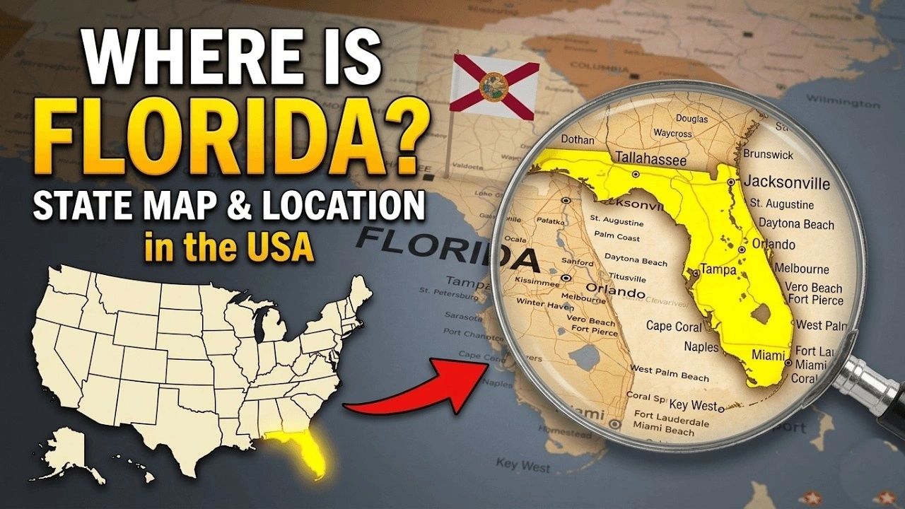
A Printable US map with cities is useful for students, teachers, travelers, researchers, and anyone who needs a clear geographic reference. A labeled map can show state boundaries, major cities, state capitals, and selected towns in one view. A printable version also makes it easy to study, mark locations, or keep a paper copy for classroom and project work.
The level of city detail depends on the map. A national map usually labels major or selected cities so the names remain readable when the map is printed. More detailed maps can include smaller cities and towns.
Large Map of USA with States and Cities

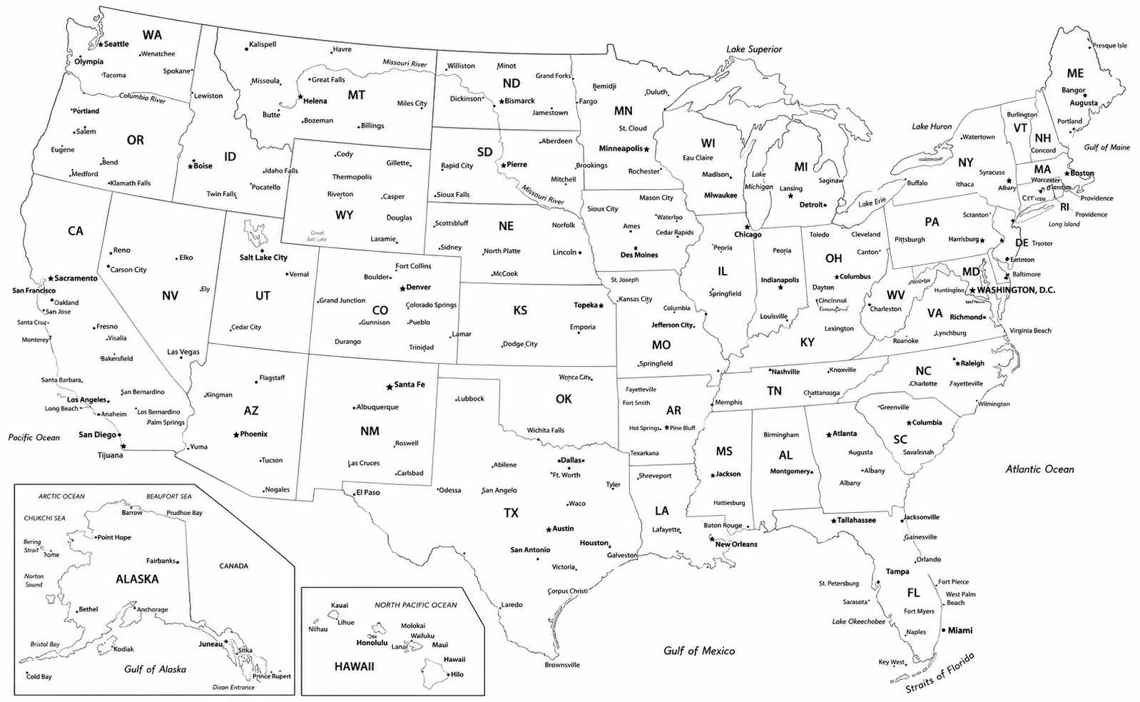
USA Map with States and Cities

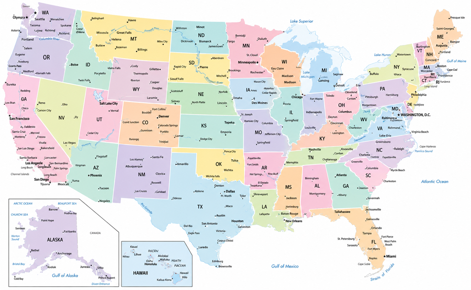
Blank USA Map with States and Cities

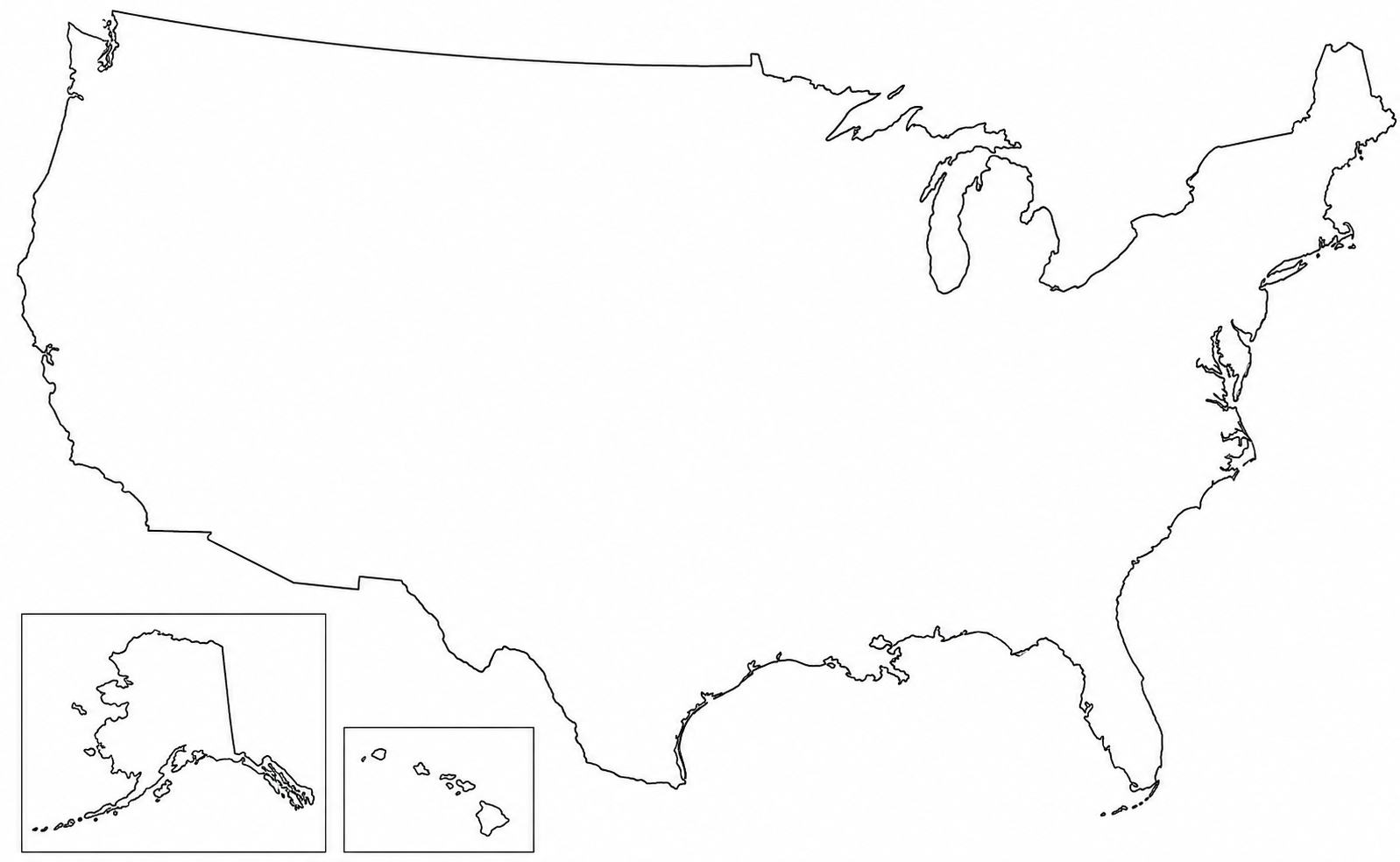
Free Printable Map of United States Cities

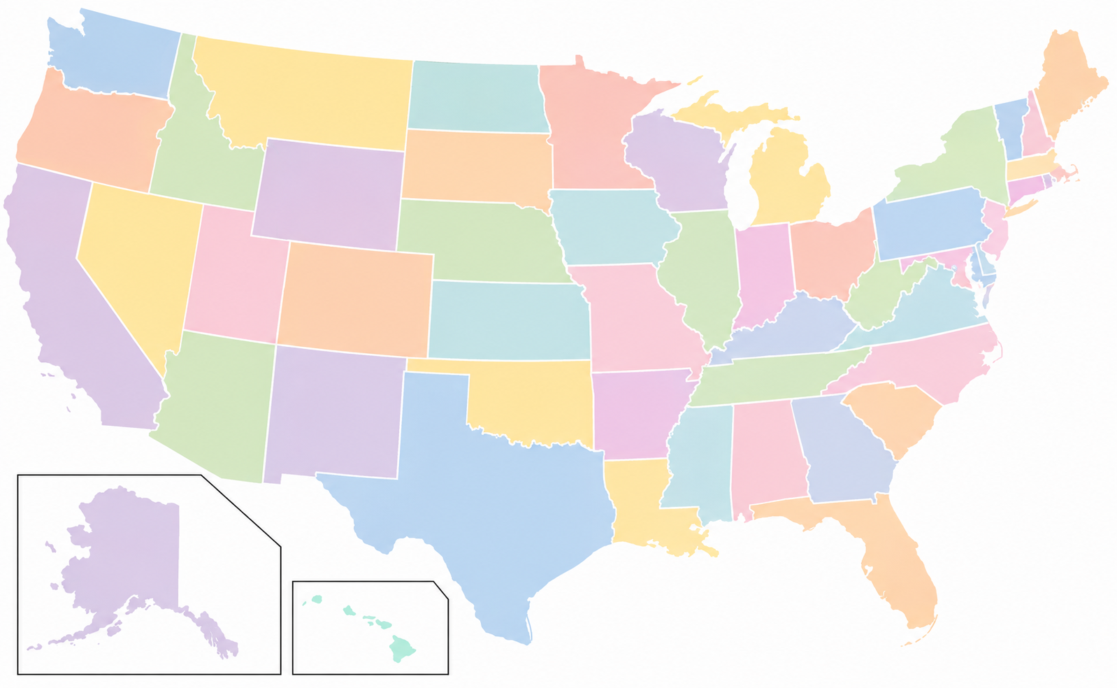
Blank Map of United States Outline Map

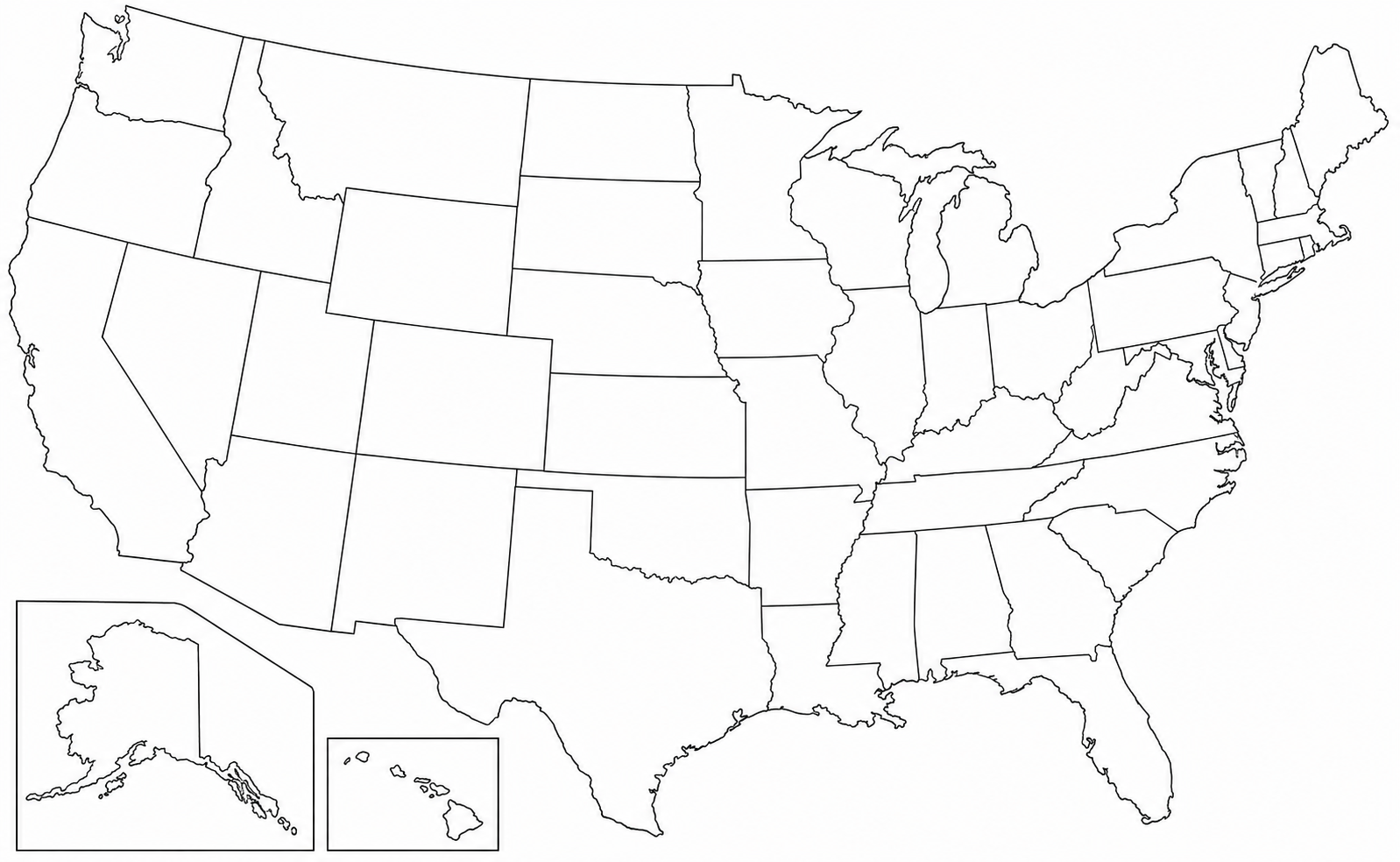
Full Map USA Cities Towns

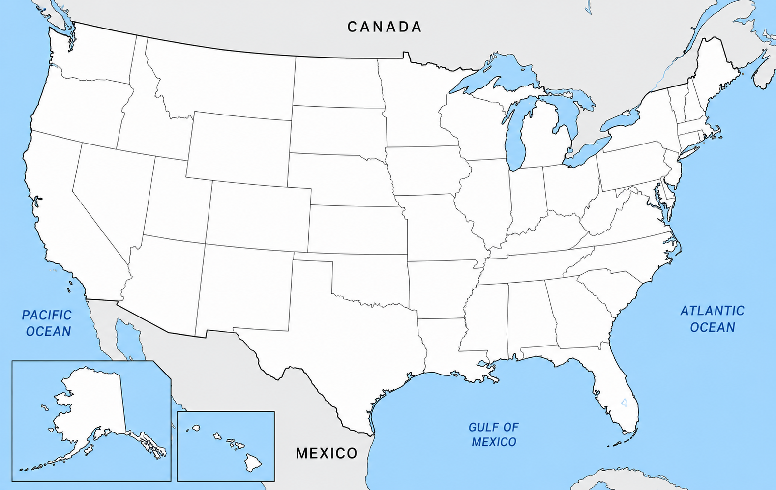
What is a printable US map with cities?
A printable US map with cities is a static map of the United States designed for downloading and printing. Depending on the version, it can include all 50 states, state boundaries, city names, major cities, state capitals, and selected geographic features.
A typical USA map with states and cities uses different symbols or text styles to identify cities and capitals. For example, state capitals may have a special marker, while other cities can appear as dots with their names.
The map can be printed in color or black and white. Landscape orientation is often useful because it gives the entire country more horizontal space.
Also Check:- Blank Map of Southeast United States Free Download
What cities are shown on a US cities map?
A single national map cannot comfortably label every city and town in the United States. Most printable maps therefore select cities according to their size, location, state importance, or geographic usefulness.
A Printable US map with cities and towns may include a mixture of larger cities and smaller places. Another version may focus only on major cities and state capitals.
Examples of cities commonly found on a US cities map include:
- New York City, New York
- Los Angeles, California
- Chicago, Illinois
- Houston, Texas
- Phoenix, Arizona
- Philadelphia, Pennsylvania
- San Antonio, Texas
- San Diego, California
- Dallas, Texas
- Seattle, Washington
- Denver, Colorado
- Boston, Massachusetts
- Miami, Florida
- Atlanta, Georgia
- Washington, D.C.
The exact city list depends on the map design and its level of detail.
Why use a printable US map with cities?
A printed map can be useful when you need to identify where cities are located within their states or compare locations across different parts of the country.
For students
Students can use a printable map for geography assignments, state identification, city-location exercises, and map-labeling practice. A blank or lightly labeled version can also be used for quizzes.
For teachers
Teachers can print copies for classroom activities. Students can mark cities, add state capitals, identify regions, or draw routes between locations.
For travel planning
A physical map gives travelers a quick view of the relative locations of cities and states. It can also be useful when planning a multi-state trip or discussing possible travel routes.
For projects and research
A printable map can be added to school projects, presentations, reports, worksheets, and reference folders. A PDF version is especially convenient because it can be saved and printed when needed.
How to download and print a US map with cities PDF
A Printable US map with cities PDF is usually the easiest format for printing because the map can be opened on a computer, tablet, or phone and sent to a printer.
Follow these basic steps:
- Choose the US city map you want to use.
- Open the PDF version of the map.
- Save the file to your device if you want a local copy.
- Open the downloaded PDF in a PDF reader.
- Select the print option.
- Choose the paper size and orientation.
- Check the print preview before printing.
- Print the map at the required scale.
For a national map, landscape orientation can give city names and state boundaries more room. If the labels appear too small, choose a larger paper size or a map with fewer city labels.
Also Check:- Blank Map of Northeast United States Free Download
What paper size should you use?
A standard US Letter sheet can work well for a basic printable map. A4 paper is another common option, especially when printing outside the United States.
A large map of the USA with states and cities can be easier to read when printed on larger paper. Large-format printing is useful when the map will be displayed in a classroom, office, study area, or presentation.
Before printing, check the preview for clipped edges and small labels. Selecting “fit to page” can prevent parts of the map from being cut off.
Printable US map with cities and capitals
Some maps combine cities with state capitals. This format is useful for geography study because you can identify the capital of each state while also seeing other important cities nearby.
State capitals are usually given a separate symbol so they can be distinguished from other cities. This makes a US map with cities and state capitals useful for classroom worksheets and state-capital practice.
Washington, D.C. can also appear on national maps, although it is a federal district rather than one of the 50 states.
Free printable US map with cities
A Free printable US map with cities can be a practical option for schoolwork, home study, teaching, and basic geographic reference.
Before printing a free map, check what information it contains. Some maps show only major cities, while others include states, capitals, smaller towns, roads, rivers, lakes, or other geographic labels.
For most classroom tasks, a clean map with readable state and city names is easier to use than a map crowded with too many labels.
Also Check:- Blank Map of Midwest Region United States Free Download
When should you use a printable city map?
A printable city map works well when you need a fixed reference that can be written on or shared physically.
You can use one for:
- Geography homework
- Classroom worksheets
- State and city identification
- Learning state capitals
- Travel planning
- School presentations
- Map-labeling activities
- Research and reference
- Office or classroom displays
You can also print multiple copies and give each student a map for an individual activity.
How to choose the right US city map
Start with the information you need. If your goal is to learn state locations, choose a map with clear state boundaries. If you need city information, choose one that labels major cities clearly.
For classroom use, look for readable text and enough blank space for writing. For travel or reference, a more detailed map may be useful. For worksheets, a simpler map can make city and state labels easier to read.
A Printable US map with cities PDF is usually a good choice when you want to save the map and print additional copies later.
Frequently Asked Questions – Printable US Map With Cities
Can I download a city map?
Yes. A US city map can be downloaded when it is provided as a PDF or another downloadable file. After saving the file, you can open it with a PDF reader and print it.
Can I get a free printable US map with cities?
Yes. Free printable maps are available in several formats, including maps showing major cities, states, state capitals, and selected towns. Check the map before printing to make sure it contains the locations you need.
Is there a printable US map with cities and towns?
Yes. Some detailed maps include both cities and smaller towns. The number of locations varies by map, so a detailed city-and-town map may be more crowded than a major-cities map.
Is there a free PDF list of all 50 states and capitals?
Yes. Printable state-and-capital resources can provide all 50 states with their capital names in PDF or worksheet formats. A labeled map is useful when you also want to see where each state and capital is located.
What is the best printable US map with cities for students?
A clear map showing all 50 states, readable major-city names, and state capitals is a practical choice for students. A less crowded design is usually easier for geography practice and classroom assignments.
Conclusion
A Printable US map with cities gives you a simple way to study states, cities, and capitals on paper. You can use a free PDF for school assignments, classroom activities, travel planning, research, or everyday geographic reference. Choose the map according to the amount of city detail you need, select a suitable paper size, and check the print preview before making your copy.