
A blank map of the western USA is one of the easiest ways to learn the western region of the United States. It gives students, teachers, parents, and map users a simple outline without labels, so the focus stays on state borders, locations, capitals, and regional geography.
A good map should be clean, easy to print, and simple enough for repeated practice. Students can label the states. Teachers can turn it into a quiz. Parents can use it for homeschool review. Designers and bloggers can use a western United States map as a base for travel, education, or regional content.
The main value is flexibility. A blank western states map can be used for state names, capitals, abbreviations, landforms, cities, counties, or road-trip planning. The right version depends on what you want to teach or show.
Printable Blank Map of Western USA

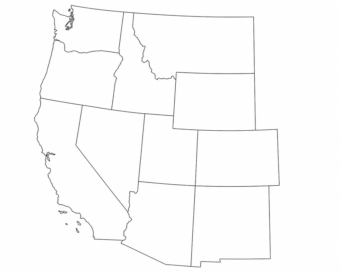
Free Printable Map of Western United States

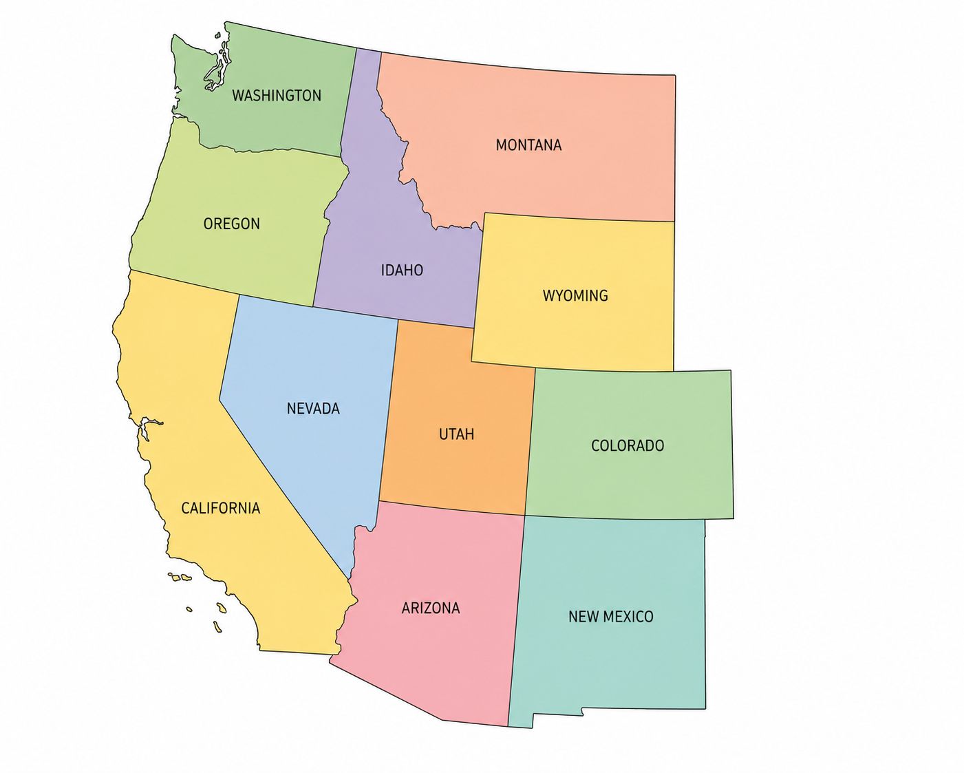
Blank Map of Western USA pdf
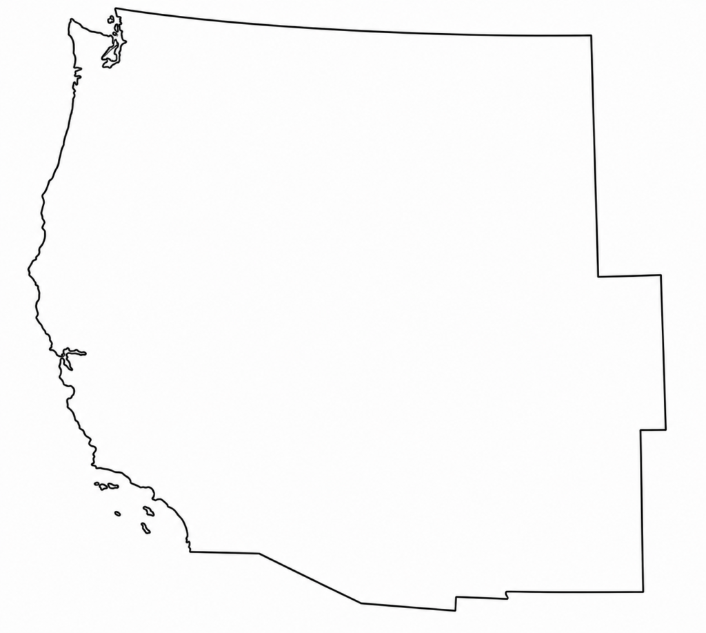
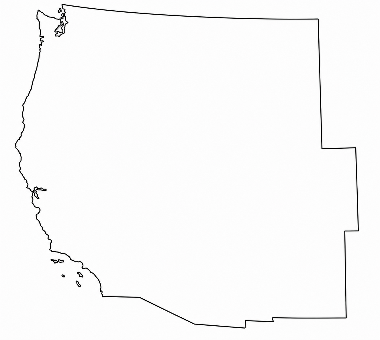
Western US Geography Map School Free Printable

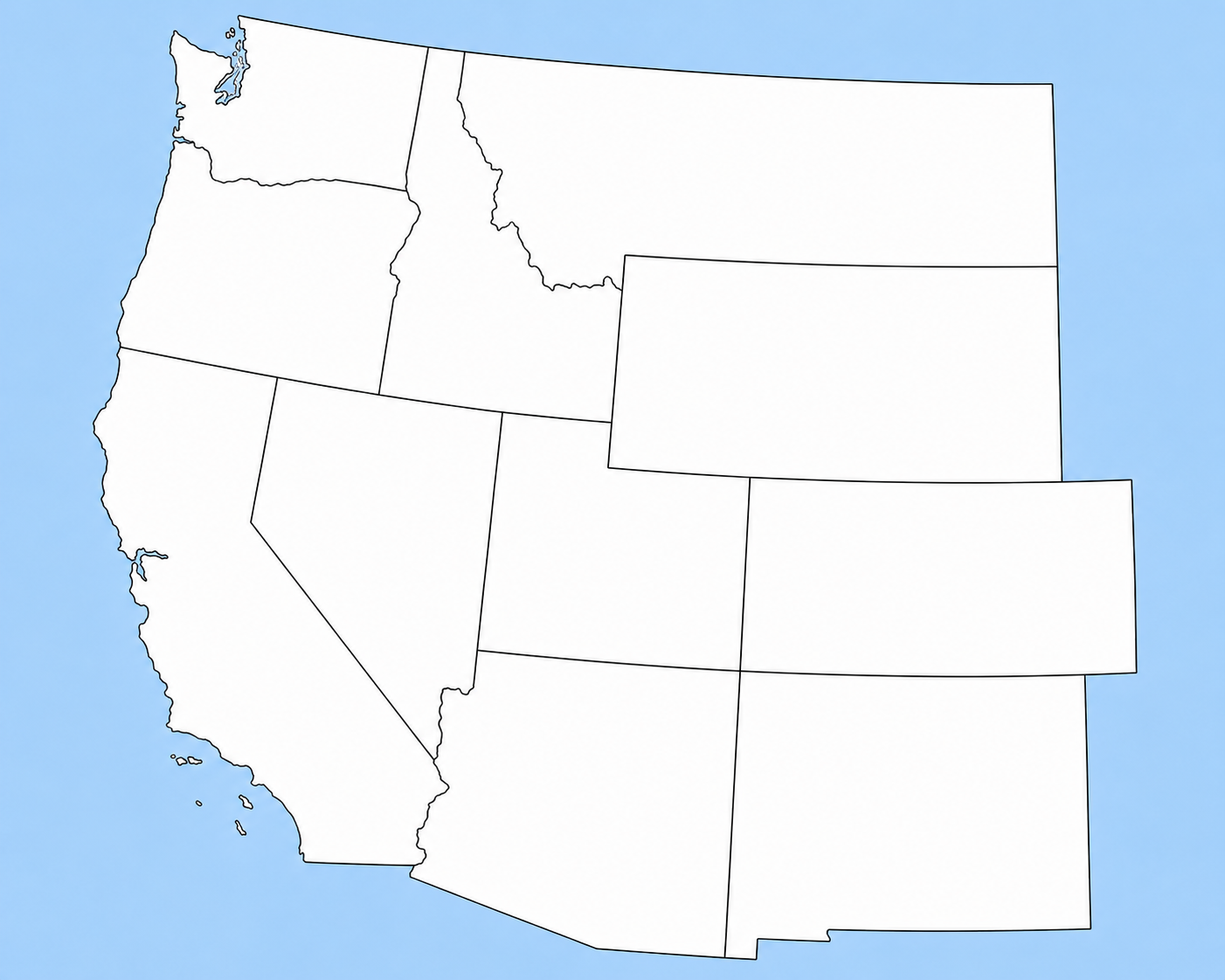
Map of Western USA Colour and Cities

Also Read:- Blank Map of Southeast United States Free Download
What is a blank map of the Western USA?
A blank map of the western USA is an unlabeled map that shows the western region of the United States. It usually includes state boundaries, but it does not show state names, capitals, or other labels unless added later.
Some maps show only the western states. Some include Alaska and Hawaii. Some focus on the West Coast. Others use a wider definition and include states west of the Mississippi River. Because “western USA” can mean different things, the map title and state list matter.
For school use, a western United States blank map often focuses on the commonly taught West Region. This version is usually easier for students because it limits the number of states and keeps the activity clear.
For general use, a broader western United States map may include more states, especially when the goal is travel, regional comparison, or business planning.
Which states are included in a Western USA blank map?
There is no single state list used by every website, school, or map publisher. The most common classroom version is the 11 western states map.
This school-style West Region usually includes:
| State | Capital | Abbreviation |
|---|---|---|
| Alaska | Juneau | AK |
| California | Sacramento | CA |
| Colorado | Denver | CO |
| Hawaii | Honolulu | HI |
| Idaho | Boise | ID |
| Montana | Helena | MT |
| Nevada | Carson City | NV |
| Oregon | Salem | OR |
| Utah | Salt Lake City | UT |
| Washington | Olympia | WA |
| Wyoming | Cheyenne | WY |
This list works well for a Western states and capitals labeled worksheet, a quiz answer key, or a study guide.
A printable western states map with these 11 states is especially useful for elementary and middle school geography. Students can label each state, then add the capital city and abbreviation. Once they know the state names, the same map can be reused for capitals, physical features, and regional review.
Also Read:- Blank Map of South America, Free Download
Western USA map vs West Coast map
A blank map of the West Coast is usually smaller than a full Western region map. It often focuses on California, Oregon, and Washington. Some versions may also include Alaska and Hawaii, depending on the lesson or design need.
A blank Western US states map is broader. It may include the 11 western states listed above, or it may include a wider western region based on the map source.
Use a West Coast map when your topic is coastal travel, Pacific states, beaches, ports, or coastal geography.
Use a blank map of the western USA when your topic includes inland western states such as Idaho, Montana, Nevada, Utah, Colorado, and Wyoming.
This small difference matters for search intent. Someone looking for a blank map of the West Coast probably wants a narrower regional map. Someone searching for a printable map of western us usually wants the full Western region.
Best uses of a blank Western states map
A blank Western states map is a strong classroom resource because it asks students to recall information instead of reading labels that are already printed on the page.
Teachers often use blank maps for:
- State labeling practice
- Capitals quizzes
- Abbreviation review
- Homework sheets
- Test preparation
- Map-reading lessons
- Regional geography units
- Coloring activities
- Group review
- Assessment sheets
For younger students, the map can start with a word bank. For older students, the word bank can be removed. This gives the same worksheet more than one difficulty level.
A printable Western USA map can also be used outside of school. Travel writers can mark routes. Bloggers can explain regional topics. Homeschool families can create weekly geography drills. Small businesses can mark service areas. Designers can use a Western states template as a starting point for clean graphics.
Blank, labeled, colored, and county-level versions
A western United States map can come in several versions. Each one fits a different task.
A blank outline map is best for practice. It has state borders and space for writing names.
A labeled map is better for study. Students can review names, capitals, and state positions before taking a quiz.
A black-and-white map is best for printing. It saves ink and works well for worksheets.
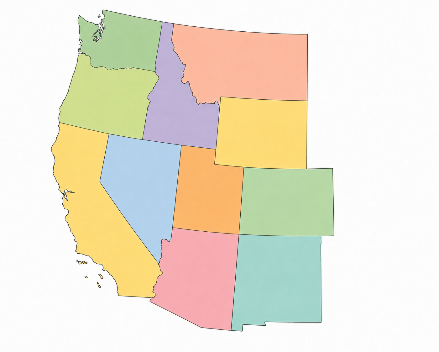
A colored map is useful for posters, slides, and visual learning.
A county-level map gives more detail. It shows county boundaries inside the states, which is useful for advanced geography, local history, regional research, or coloring projects.
An editable SVG map is useful for design work because it can be resized without losing quality. A PNG map works well for blog images and digital worksheets. A PDF is usually the easiest choice for printing.
Also Read:- Blank Map of Georgia, USA Free Download
How students can study with a printable Western USA map
Start with the state names. Ask students to label all 11 states on a blank map. Keep the first round simple and check accuracy before adding more details.
Next, add the capitals. Students can write the capital next to each state or use a separate answer table. This turns the map into a study sheet of Western states and capitals.
Then add abbreviations. Abbreviations are short, but students often mix up similar state codes. A map activity makes the codes easier to connect with actual locations.
After that, add physical features. Students can mark the Rocky Mountains, Pacific Ocean, deserts, major rivers, or national parks. This works well for upper elementary and middle school lessons.
For review, use the same blank map again with fewer hints. A student who first used a word bank can later try the map without one. A student who already knows the states can move on to capitals, counties, or landforms.
Classroom activity ideas
A blank map is more useful when the task is clear. Here are simple activities that work well:
State name quiz: Give students a blank map and a list of numbers. They write the correct state name beside each number.
Capital match: Students label the states first, then match each state with its capital.
Abbreviation practice: Students write AK, CA, CO, HI, ID, MT, NV, OR, UT, WA, and WY in the correct states.
Color by region: Students color coastal states, mountain states, and non-contiguous states in different colors.
Features map: Students add landforms, cities, capitals, or population notes to the same outline map.
Partner review: One student labels the map. The other checks it using a labeled answer key.
These activities keep the printable Western states map practical. They also make one map useful for more than one lesson.
How to choose the best printable map of the Western US
Choose the map based on your purpose.
For quick classroom printing, use a PDF. PDF files usually keep the layout stable when printed.
For digital worksheets, use PNG. PNG files are easy to place inside documents, slides, and learning platforms.
For editing, use SVG. SVG files are better when you need to change colors, remove borders, resize the map, or create a custom western states template.
For younger students, choose a simple outline with thick borders and enough space to write. For older students, choose a map with more detail, such as counties, landforms, or major cities.
For public websites, check the usage rights before publishing the image. Free maps, school worksheets, Wikimedia files, and stock graphics can have different license rules. A map that is fine for classroom use may have limits for commercial use or online redistribution.
Also Read:- Blank Northeast United States Map Free Download
What makes a good Western states template?
A good Western states template should be easy to read at normal print size. State borders should be clear. Labels should not be crowded. If the map is blank, students should have enough room to write state names.
A strong template also has the right scope. If the lesson is about the 11 western states, the map should include Alaska, California, Colorado, Hawaii, Idaho, Montana, Nevada, Oregon, Utah, Washington, and Wyoming. If the topic is the West Coast, a smaller map may work better.
For worksheets, leave extra space for answers. For blog graphics, keep the map clean and use clear contrast. For tests, avoid extra details that give students clues unless the lesson requires them.
Printable western USA map for homeschool and teachers
Homeschool families can use a printable Western USA map as part of a weekly geography plan. One day, focus on state names. Another day can focus on capitals. A third day can use the same map for rivers, mountains, or national parks.
Teachers can use the map for warm-ups, exit tickets, review stations, and quizzes. Since the map is blank, it can be reused across several lessons without changing the core worksheet.
A printable Western states map also works well for differentiated instruction. Some students can receive a word bank. Others can work from memory. Advanced students can add capitals, abbreviations, and physical features.
Common mistakes when using Western USA maps
The first mistake is using the wrong region. A West Coast map and a western region map are not always the same. Check the state list before printing.
The second mistake is choosing a map with too much detail for beginners. County lines, tiny borders, and extra labels can confuse younger students.
The third mistake is using an image without checking its license. Stock maps, printable worksheets, and open media files may have different rules for classroom use, website use, editing, and redistribution.
The fourth mistake is printing a low-resolution image. A map may look fine on screen and become blurry on paper. For worksheets, use a clean PDF or a high-resolution image.
Also Read:- Midwest Region Blank Map Free Download
Frequently Asked Questions – Blank Map of Western United States
Which states are on a Western USA blank map?
A full Western USA map often includes 13 states: Alaska, Arizona, California, Colorado, Hawaii, Idaho, Montana, Nevada, New Mexico, Oregon, Utah, Washington, and Wyoming.
Some school worksheets use an 11-state West Region list: Alaska, California, Colorado, Hawaii, Idaho, Montana, Nevada, Oregon, Utah, Washington, and Wyoming. Check your textbook or teacher’s guide before printing a map for class.
Where can I find a blank map of the Western USA in a printable PDF?
You can find a blank map of the Western USA printable PDF on educational worksheet sites, geography map pages, teacher resource sites, and public map collections like Blankusmap.com. Look for a clean outline map with state borders, enough writing space, and a PDF download option.
A PDF is usually the best format for classroom printing because the page size stays consistent.
What is the difference between a blank Western USA map and a labeled Western USA map?
A blank Western USA map has state borders without names. It is used for practice, testing, coloring, and student activities.
A labeled Western USA map includes state names, capitals, or major cities. It works better as a study guide, reference sheet, or answer key.
What should a Western state’s map with capitals include?
A Western states map with capitals should show each state and its capital city. Common examples include Sacramento, Salem, Olympia, Boise, Helena, Cheyenne, Denver, Salt Lake City, Carson City, Santa Fe, Phoenix, Juneau, and Honolulu.
If your worksheet uses the 11-state school region, Arizona and New Mexico may be left out. Match the map to your curriculum.
Is a blank map of the Western USA good for homeschooling?
Yes. Homeschool parents can use a blank Western states map for weekly geography practice. Start with state names, then add capitals, abbreviations, and neighboring states.
A simple routine works well: print one blank map on Monday, practice with a labeled map during the week, then use a fresh blank map for Friday review.
What should I check before downloading a free printable Western states map?
Check the state list, file format, print quality, page size, and usage rights. Make sure the map matches your lesson before using it as a quiz.
For students, the most useful map has clear borders and enough space to write state names and capitals.
Final Conclusion
A blank map of the Western USA is a simple printable resource, but it can make geography practice much easier. Students can label states, write capitals, color regions, mark borders, and review state locations without extra distractions.
For teachers and parents, a printable Western states map works well for worksheets, quizzes, homework, and classroom review. Choose a clear PDF for printing, use a labeled map as an answer key, and match the state list to your school curriculum before using it for practice.