
Georgia is one of the most diverse states in the southeastern United States. From bustling Atlanta to scenic mountains and coastal plains, understanding its geography is easier with the right maps. For students, teachers, travelers, and researchers, blank maps of Georgia are essential tools for learning, planning, and exploration.
Whether you need a blank map of Georgia, USA PDF, a free printable map of Georgia with cities, or a detailed Georgia county map, there are resources available that meet every need. This guide covers the various types of maps available, their formats, and their practical applications.
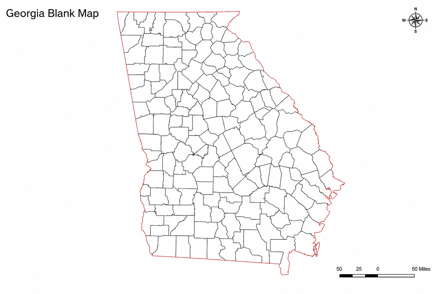
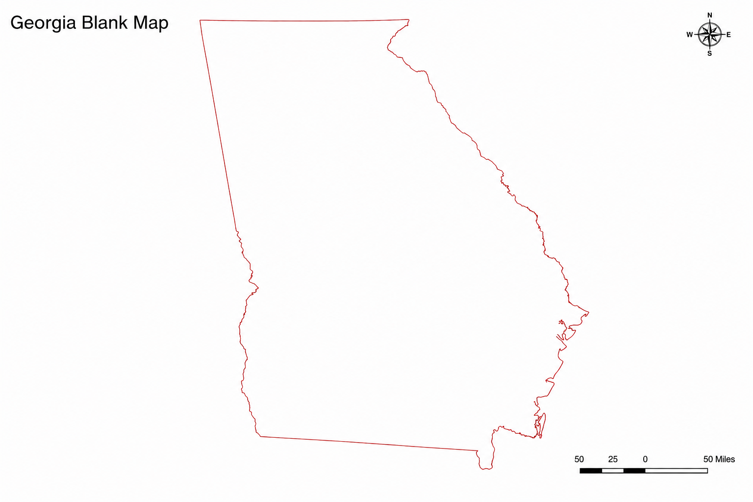
Blank Map of Georgia, United States

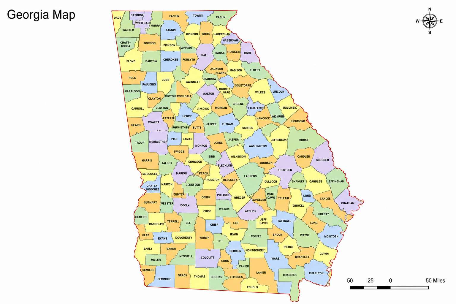
Map of Georgia, United States

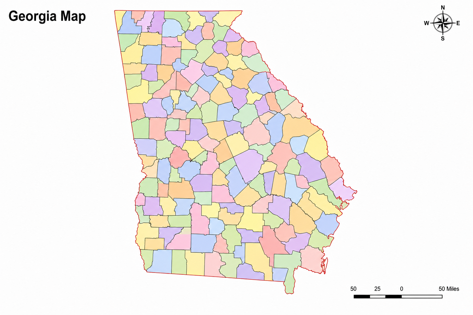
Blank Map of Georgia, United States with Colour

Blank Map of Georgia, United States Without Country Boundaries

What is a Blank Map of Georgia?
A blank map of Georgia is a map that shows the state’s boundaries and, in some cases, county divisions, without additional labels or geographical details. These maps are intentionally minimal. They provide a base for labeling, coloring, or adding custom annotations.
Blank maps are useful for:
- Learning county locations and state geography
- Planning trips and visualizing routes
- Classroom activities, quizzes, and homework
- Creating custom maps for research or presentations
You can find a variety of formats, including PDFs, PNGs, and vector files, suitable for both digital and printed use.
Types of Blank Maps of Georgia
1. Outline Maps
Outline maps show the state boundary of Georgia without any internal details. These are sometimes referred to as Georgia state outline maps. They are ideal for:
- Coloring activities
- Adding city names
- Educational worksheets
You can download the Georgia outline free in formats like SVG, PDF, or PNG. These maps are useful for teachers, students, and content creators.
2. County Maps
Georgia has 159 counties, making county maps crucial for understanding local geography. A free printable Georgia county map can:
- Help students memorize county names
- Be used in geography quizzes and assignments
- Serve as a base for research and statistical analysis
These maps often come in PDF format, ready for printing, or editable vector formats for adding labels and colors.
3. Maps with Cities
For a more detailed view, some blank maps include the names of major cities. A blank map of Georgia, USA, with cities, or a free printable map of Georgia with cities, shows:
- Atlanta, Savannah, Augusta, Columbus, Macon, and Athens
- Coastal towns and inland cities
- Major transportation routes (optional)
These maps are ideal for classroom exercises, travel planning, and home learning.
4. Regional Maps
Georgia’s geography is divided into six regions: the Blue Ridge, Ridge and Valley, Piedmont, Coastal Plain, Appalachian Plateau, and the transitional areas between the Ridge and Valley. A blank map of Georgia regions is helpful for:
- Identifying physical and cultural regions
- Coloring and labeling in educational exercises
- Understanding the state’s diverse landscapes
Teachers often use these maps for interactive classroom activities.
Read More:- Midwest Region Blank Map
Downloadable Formats
Most blank maps are available in multiple formats:
- PDF – ideal for printing and classroom use
- PNG/JPEG – quick access for presentations and blogs
- SVG/Vector – editable for digital design or crafts
Practical Uses of Blank Maps
Education
Students can:
- Label counties and major cities
- Color regions and physical features
- Practice map skills for geography assignments
Teachers can:
- Create worksheets and quizzes
- Explain regional differences
- Track student progress with map exercises
Travel Planning
Travelers can:
- Plan road trips across the state
- Mark cities, landmarks, and national parks
- Visualize routes across Georgia’s diverse regions
Research and Presentations
Researchers and content creators can:
- Annotate maps for reports
- Use large maps of Georgia in presentations
- Overlay demographic or statistical data
Read More:- Blank Northeast United States Map
Tips for Using Blank Maps
- Print in high resolution – Use PDF or PNG for best clarity.
- Choose the right type – Outline maps for geography basics, county maps for detailed study.
- Label carefully – Start with major cities, then counties or regions.
- Color code – Use different colors for regions or counties for easier learning.
- Combine with online tools – Digital maps allow annotations and overlays.
Frequently Asked Questions – Blank Map of Georgia, USA
Where can I obtain a blank map of Georgia, USA, in PDF format?
Websites like blankusmap.com offer free PDF downloads suitable for printing and classroom use.
Is there a free printable map of Georgia with cities?
Yes, many sources provide maps with major cities labeled. These are useful for travel planning and education.
How do I print a large map of Georgia?
Use PDF or SVG files. Vector formats can be scaled without losing quality, perfect for classroom posters or wall displays.
Can I find a blank map of Georgia regions?
Yes, regional maps are available from educational resources like Blankusmap.com. They highlight physical and cultural regions for labeling and coloring.
Conclusion
Blank maps of Georgia, USA, are versatile tools for learning, planning, and creative projects. Whether you need a free printable Georgia county map, a Georgia outline free, or a blank map of Georgia USA with cities, these maps provide the flexibility to explore the state visually. By choosing the right format and type, you can create effective educational materials, detailed travel plans, or engaging presentations.
From classrooms to design projects, a map of Georgia, USA, is more than a reference; it’s a tool for understanding the state’s geography and regions in a clear, interactive way.